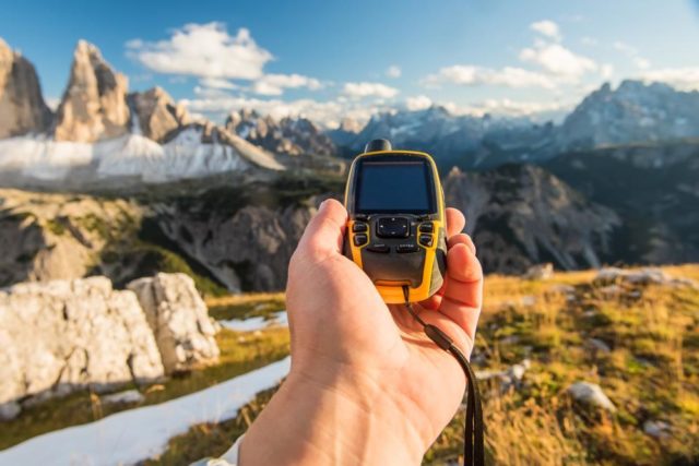
Once a revolutionary technology – nowadays GPS can be found on almost any device – phones, drones, and even dog collars. However, handheld GPS receivers are still one of the most invaluable outdoor tools for hikers, campers and backcountry explorers, providing then with crucial information about where they have been, where they are at the moment, and where they want to go. Picking the best GPS device takes some careful consideration, however, in today’s blog post I’ll mainly discuss the handheld models, so don’t expect the same rules to apply when buying a GPS unit for vehicles and GPS-enabled satellite messengers. I won’t cover the topic of phone apps and maps, because as good as phone apps may be, a dedicated outdoor handheld GPS unit offers various key advantages:
- Ruggedness and resistance to the elements;
- Replaceable batteries;
- Superior reception in remote areas;
- Robust features specifically developed for outdoor use.
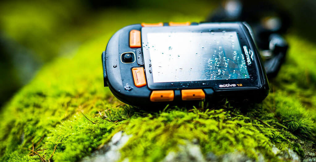
If you’re a first-time handheld GPS buyer, there are a couple of things that can make your selection process a bit easier. The three most important things to consider are the size and weight of the unit, the interface preferences and the features you want from the unit. The larger the screen size of the unit, the heavier it will be, which is why you need to consider how much weight you can carry in your hands, and how big you want the GPS screen to be. As far as interface preferences go, you can go with touch-screen or a button-controlled unit. Lastly, costlier models have extra features like wireless, an electronic compass or a barometer. Consider whether you want any of these features to be included in your handheld GPS model.
Speaking of features, most handheld GPS models do basic navigation, but your choice between the different models will depend on the extra features it possesses. A unit with an electric compass will tell you the direction you’re facing while you’re standing in place. This can add convenience when you’re resting, allowing you to plan your route. Then, wireless data allows you to communicate with other GPS units, giving you the ability to share waypoints, routes, and tracks with other people using the same-brand GPS as you.
Additionally, some models allow you to use third-party software and maps with preloaded maps. Some units go as far as offering full-fledge topographic maps, some of which can be installed separately, while others come together with the unit itself. Naturally, some units have more storage memory than others and thus, more waypoint totals. The more storage capacity the unit has, the more data it can store. However, even if the model you’re looking at doesn’t have all that much storage capacity, you can probably expand it with the help of a microSD card.
That being said, your choice will also come down to how tech-savvy you are, and whether you can take advantage of these features. But even the simplest of GPS units have a range of settings and features. Due to the fact that every unit’s operation methods vary, I won’t go into the details, and it’s best to just read the owner’s manual to get to know how everything works. However, all GPS receivers have the following functions:
- They display your position and its coordinates, based on a map
- They record track points at regular intervals that you can use later to retrace your steps
- They let you navigate point to point by giving you the direction and distance to a waypoint, or location. You can pre-mark the location by entering the coordinates
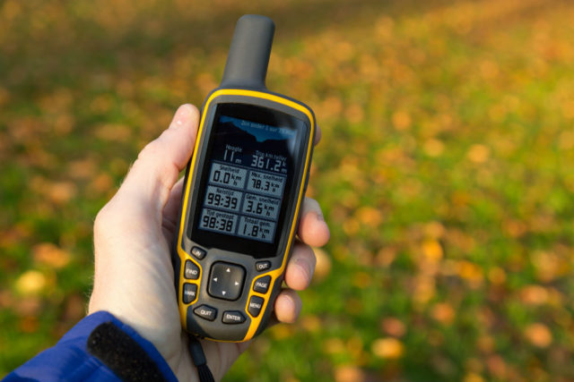
- They display the trip-data, like height climbed or how far you’ve traveled
In order to set up your GPS, you need to set the position format and the map datum. The position format, a.k.a the coordinates can be displayed in a few different systems. You can pick the one that you’re most comfortable with so that when marking the waypoints, you can use the same system as the source of your location information. The map datum is important, and it’s important it matches your map’s datum or the datum on the trail guide or other sources of information. This is important because if you don’t have it, you might get the wrong location displayed on your GPS.
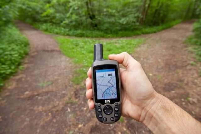
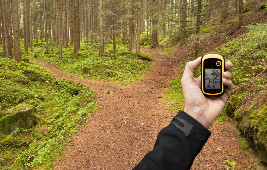
Once you’ve set these two parameters, you need to lock onto a satellite which broadcasts GPS signals. Most of the time, all you’ll need to do is turn the GPS unit on, and it will start searching for satellites by itself. However, sometimes, like when you’re in a slot canyon or dense tree covers, the signals might be blocked, so you’ll need to get to a clear area to recalibrate and reconnect to the satellite. Worth noting is that you should avoid stashing your GPS on the bottom of your backpack or in a deep pocket, as that can block the signal. Also, make sure you get an extra pack of batteries in case the ones currently in use fail.